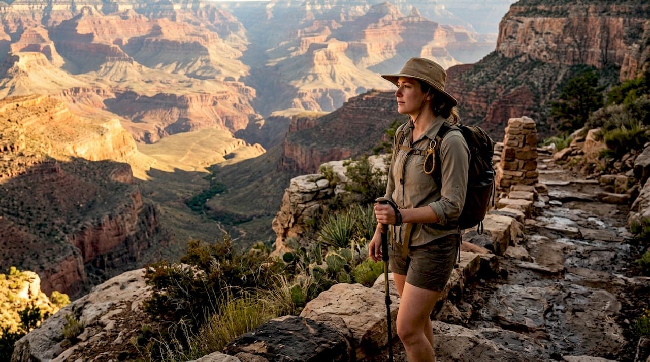
How South Kaibab and Bright Angel actually compare
The short answer: descend South Kaibab, ascend Bright Angel. That combination gives you the canyon's best views on the way down and reliable water on the climb back up. But the right choice depends on your fitness, your schedule, and how much risk you want to carry.
| Feature | South Kaibab Trail | Bright Angel Trail |
|---|---|---|
| Trail length (roundtrip) | — | 15.6 miles |
| Elevation change | 4,780 feet | 4,478 feet |
| Water availability | Trailhead only | Multiple stations year-round |
| Shade | Fully exposed ridgeline | Partial shade, canyon walls |
| Scenery | Panoramic views | Framed canyon and cliff views |
| Difficulty | Very difficult, steep switchbacks | Strenuous, gentler slope |
| Trailhead access | Shuttle or taxi only | Parking available |
| Best for | Experienced hikers, views | Beginners, families, hot weather |
| Rating | 4.8★ (60 reviews) | 4.9★ |
Key distinctions at a glance:
- South Kaibab averages over 13% slope with tight switchbacks; Bright Angel averages about 10%
- No water exists on South Kaibab between the trailhead and the river
- Bright Angel Trailhead sits 400 feet lower than South Kaibab Trailhead
- South Kaibab requires the Orange Line shuttle; Bright Angel has its own parking lot
What you need to know about Bright Angel Trail
Bright Angel Trail is the most popular trail in Grand Canyon National Park, and it earns that status for practical reasons. The trailhead sits just west of Bright Angel Lodge in Grand Canyon Village, with parking nearby on Village Loop Drive when the main lot fills. At 15.6 miles roundtrip with 4,478 feet of elevation change, a full rim-to-river day takes 10–13 hours.
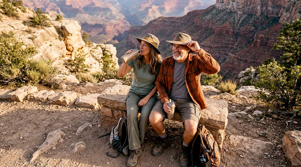
The trail follows a natural fault line, tucking into a side canyon for the first few miles. That geology creates shade from massive canyon walls and supports more plant and animal life than you'll see on the exposed ridgeline of its rival. Water stations at the trailhead and Havasupai Gardens (4.5 miles down) run year-round; a seasonal station at the 3 Mile Resthouse operates may through September.
Key features:
- Trail width: About 4 feet wide, manageable for two-way traffic
- Rest houses: 1.5 Mile Resthouse and 3 Mile Resthouse with toilets; Havasupai Gardens has a ranger station
- Campgrounds: Bright Angel Campground sits at the bottom near Phantom Ranch, shaded by cottonwoods along Bright Angel Creek
- Family friendly: The gentler grade and water access make it the go-to for first-time canyon hikers and families with older kids
- Mule traffic: Mules use this trail regularly; step to the uphill side and stand still when they pass
The Bright Angel Trail Bridge (also called the Silver Bridge) marks the Colorado River crossing near Phantom Ranch, a landmark that signals you've reached the canyon floor.
What makes South Kaibab Trail different
South Kaibab Trail starts at Yaki Point Road off Desert View Drive, and no parking exists at the trailhead. You ride the Orange Line shuttle from Grand Canyon Village or take a taxi to the gate. That extra step filters out casual visitors, which partly explains why the trail feels less crowded.
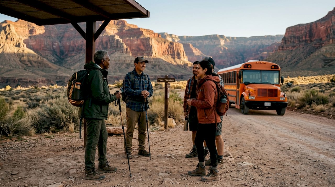
The payoff is the view. South Kaibab follows an exposed ridgeline the entire way down, offering panoramic views that Bright Angel's side-canyon route simply cannot match. Ooh Aah Point, just 1 mile and 600 feet below the rim, is one of the most photographed spots in the park. Cedar Ridge at 1.5 miles and Skeleton Point at 3 miles are the recommended turnaround points for day hikers.
Key features:
- Trailhead elevation: 7,260 feet; river at 2,480 feet
- Landmarks: Ooh Aah Point (1 mile), Cedar Ridge (1.5 miles), Skeleton Point (3 miles), Tip-Off (4.4 miles)
- Water: None between trailhead and Bright Angel Campground at the bottom
- Exposure: Full sun the entire route, no shade from canyon walls
- Steepness: Over 13% average gradient, harder on knees during descent than any other corridor trail
The Tip-Off at 4.4 miles marks the Tonto Plateau, where the Tonto Trail intersects. From there, it's a direct shot to the Kaibab Suspension Bridge and the river.
Pros and cons of each trail
| South Kaibab Trail | Bright Angel Trail | |
|---|---|---|
| Pros | Shorter distance, best panoramic views, less crowded, dramatic turnaround spots at Ooh Aah Point | Water stations, shade, easier ascent, parking at trailhead, amenities nearby |
| Cons | No water, full exposure, shuttle-only access, steeper and harder on knees | Longer distance, more crowded, slightly less dramatic views |
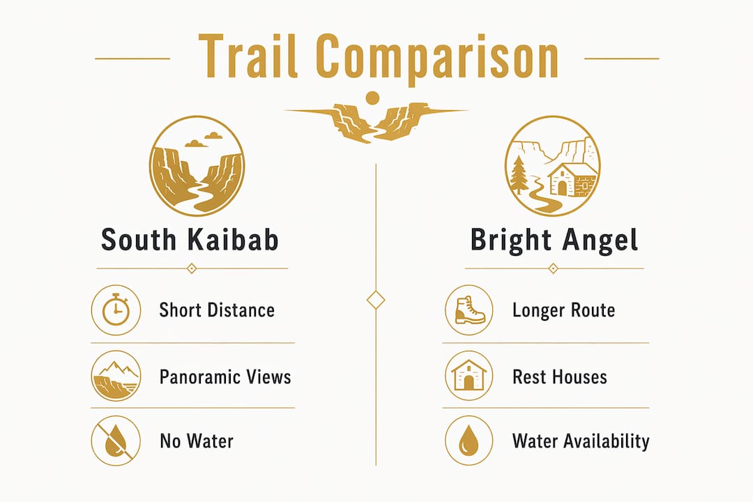
South Kaibab's lack of water is not a minor inconvenience. On a warm day, carrying every drop you need for 7 miles down and 7 miles back is a serious logistical challenge. Ascending South Kaibab in summer is genuinely dangerous, which is why the NPS recommends against it during warmer months.
Bright Angel's crowds are real but manageable if you start before dawn. The trail's width helps, and the rest houses give you natural stopping points that break the hike into digestible segments.
How hikers typically combine these two trails
The classic rim-to-river-to-rim loop descends South Kaibab and ascends Bright Angel. This is the NPS-recommended order for good reason: you tackle the exposed, waterless trail while you're fresh and descending, then climb out on the shaded, watered route when your body needs support most.
Practical considerations for planning your route:
- Start at South Kaibab for sunrise: Ooh Aah Point faces east and catches the first light beautifully
- Shuttle timing matters: The Orange Line runs on a schedule; check current times at the visitor center before your hike day
- The 400-foot elevation advantage: South Kaibab Trailhead sits higher, so starting there eliminates extra climbing from your ascent
- Water strategy: Carry enough for the full South Kaibab descent, then refill at Bright Angel Campground before climbing out
- Day hike vs. overnight: The combined route covers 16.5 miles with 4,780 feet of descent and 4,380 feet of gain; the NPS does not recommend this as a single day hike for most hikers
For a true rim-to-rim (North Rim to South Rim), the North Kaibab Trail connects at the bottom. That's a 24-mile journey best done as a two-day backpacking trip.
Safety tips every canyon hiker needs to follow
The Grand Canyon kills people every year, and most incidents involve dehydration, heat exhaustion, or underestimating the climb back up. Plan for at least twice as long to hike up as it took to go down.
Critical safety practices:
- Start before dawn in summer; avoid hiking between 10 AM and 4 PM when heat peaks
- Carry water even on Bright Angel: Water stations can be shut down for repairs; never assume they're running
- Eat while you hike: Energy depletion compounds dehydration faster than most hikers expect
- Use trekking poles: Both trails are steep enough that poles reduce knee strain significantly on descent
- Yield to mules: Mule riders have absolute right-of-way on both trails; step to the uphill side, stay still, and stay quiet
- Pace to your slowest hiker: One person pushing too hard can force a rescue for the whole group
- Winter conditions: The upper portions of both trails can be icy from November through March; microspikes are worth carrying
Trail and trailhead comparison with local facilities
The four key locations on these routes each serve a distinct purpose for hikers planning a rim-to-river trip.
| Location | Trail length and route | Elevation change | Water | Shade | Difficulty | Rating |
|---|---|---|---|---|---|---|
| South Kaibab Trail | 7 miles one way | 4,780 feet | None on trail | None | Very difficult | 4.8★ (60) |
| Bright Angel Trailhead | — | 4,478 ft | Multiple stations | Partial | Strenuous | 4.9★ |
| Bright Angel Campground | Bottom of both trails, near Phantom Ranch | 2,480 ft elevation | Yes, year-round | Shaded by trees | N/A (camp) | 4.9★ |
| Bright Angel Trail Bridge | Colorado River crossing near Phantom Ranch | River level | Adjacent to river | Minimal | Landmark | 4.9★ (27) |
Bright Angel Campground is the hub at the bottom. It sits near Phantom Ranch with toilets, water, and shade from cottonwood trees along Bright Angel Creek. Whether you descend South Kaibab or Bright Angel, this is where both routes converge before the climb out.
Permits and regulations for each trail
Day hiking on both South Kaibab and Bright Angel requires no permit. You can show up, park or catch the shuttle, and go. Overnight camping is a different matter entirely.
A backcountry permit from the National Park Service is required for any night spent below the rim, including at Bright Angel Campground. Permits are competitive and issued by lottery; the NPS opens the application window four months before the intended trip month. Walk-up permits are sometimes available at the Backcountry Information Center the morning of your hike, but availability is not guaranteed.
South Kaibab Trailhead requires shuttle or taxi access; private vehicle access is restricted during peak hours. Use the Orange Line shuttle from the Grand Canyon Visitor Center or arrange a taxi through the park's authorized services.
Want a guided hike on either trail?
Grandcanyonjourneys offers private guided hikes below the rim on both Bright Angel and South Kaibab, led by Wilderness First Responder-certified guides who handle all the logistics you'd otherwise spend hours sorting out yourself. No shuttle stress, no guessing about water, no figuring out turnaround points on the fly.
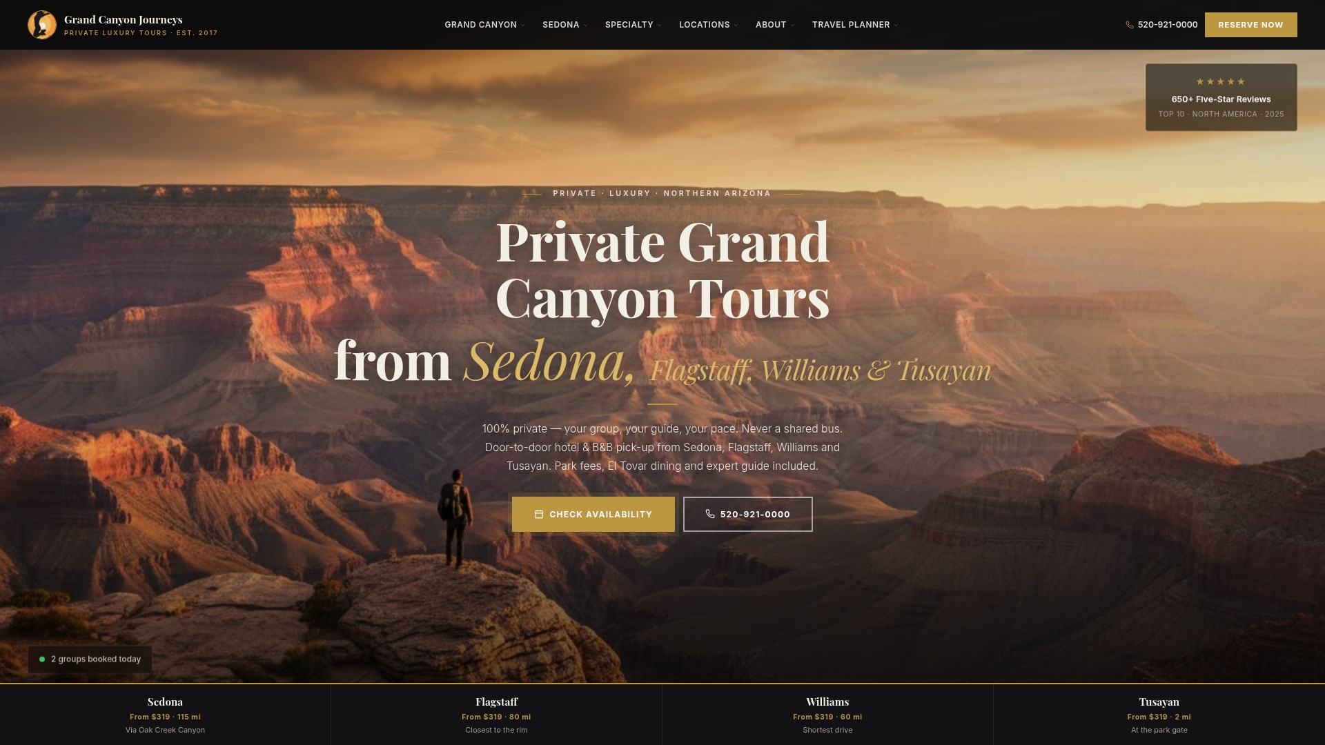
Every hike includes door-to-door pickup from Sedona or Flagstaff in a climate-controlled vehicle, so you arrive at the trailhead rested rather than already tired from driving. For hikers who want the full canyon experience without the planning overhead, the Grand Canyon travel planner is a good starting point. Grandcanyonjourneys keeps groups small and private, which means the pace, the route, and the turnaround point are yours to decide.
Key Takeaways
Descending South Kaibab and ascending Bright Angel is the safest, most rewarding combination for rim-to-river hikers at the Grand Canyon.
| Point | Details |
|---|---|
| Best combined route | Descend South Kaibab for views, ascend Bright Angel for water and shade. |
| Water is the deciding factor | South Kaibab has no water on trail; Bright Angel has multiple year-round stations. |
| Steepness difference | South Kaibab averages over 13% grade; Bright Angel averages about 10%. |
| Permits for overnight | No permit needed for day hikes; backcountry permit required for camping at Bright Angel Campground. |
| Guided option | Grandcanyonjourneys leads private WFR-certified hikes on both trails with full logistics included. |