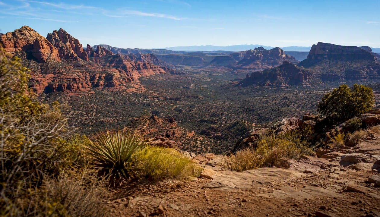
Sedona sits at roughly 4,350 feet (1,330 meters) above sea level. For most visitors walking around town or hitting an easy trail, altitude sickness isn't a real concern. That risk climbs, though, once you start ascending toward summits above 6,000 or 7,000 feet or push hard on a steep trail without acclimating. Most guides put the "high altitude" threshold around 4,900 feet, which puts town-level Sedona just under that line.
Pro Tip: Book an easy first hike, drink water before you feel thirsty, and save the strenuous climbs for day two once your body has had time to adjust.
Key Takeaways
Sedona's town elevation keeps most visitors safe from altitude sickness, but nearby summits and steep trails raise that risk fast.
| Point | Details |
|---|---|
| Town elevation is moderate | Sedona sits near 4,350 feet (1,330 meters), below the common 4,900 foot high-altitude threshold. |
| Mild AMS is uncommon in town | Real altitude sickness typically appears below 8,000 feet only in sensitive individuals or after rapid ascent. |
| Watch for severe signs | Confusion, severe breathlessness at rest, or pink frothy sputum mean immediate descent and medical care. |
| Elevation gain matters more than town elevation | A trailhead's starting height and total climb affect exertion far more than Sedona's baseline elevation. |
| Guided hikes add a safety layer | Grand Canyon Journeys pairs WFR-certified guides with private transport for pacing and faster emergency response. |
Table of Contents
- Why Sedona's Altitude and High Desert Climate Matter
- Is Altitude Sickness Common in Sedona?
- How to Prevent and Manage Altitude Effects on Your Trip
- When to Descend or Get Medical Help
- Elevation Changes Around Sedona You Should Plan For
- How Guided Hikes Reduce Altitude and Trail Risk
- Frequently Asked Questions
- Sources
Why Sedona's Altitude and High Desert Climate Matter
Elevation is only half the story. Sedona sits in high desert country, meaning lower humidity, more intense UV exposure, and wide swings between morning chill and afternoon heat. These conditions don't cause altitude sickness on their own, but they amplify how tired and dehydrated you feel on a hike, mimicking or worsening mild altitude symptoms.
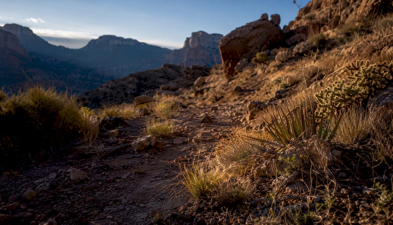
Town elevation near 4,350 feet sits just below the commonly cited 4,900 foot high-altitude threshold, which is why most day-trippers never notice a thing.
What you'll actually feel on the ground:
- Cooler mornings that warm up fast, especially in shaded canyons
- Sunburn that shows up quicker than it would at sea level
- A hike that feels harder than the mileage suggests, particularly on exposed rock
Pro Tip: Reapply sunscreen every two hours on exposed trails like Cathedral Rock or Devil's Bridge, and drink water on a schedule rather than waiting until you're thirsty.
Is Altitude Sickness Common in Sedona?
Not really, and that's worth saying plainly. Genuine altitude sickness is uncommon below roughly 8,000 feet for most healthy adults, and Sedona's town elevation sits well under that mark. The picture changes if you're hiking toward higher local summits, moving fast without a break-in day, or you're simply more sensitive to elevation change than average.
Mild symptoms to watch for:
- Headache
- Nausea or loss of appetite
- Dizziness or lightheadedness
- Breathlessness on exertion that feels out of proportion to the effort
Severe warning signs that mean stop immediately:
- Confusion or disorientation
- Severe shortness of breath, even at rest
- Coughing up pink or frothy sputum
- Inability to walk a straight line
People at higher risk include anyone ascending quickly from a much lower elevation, older adults, hikers with heart or lung conditions, and anyone pushing a hard pace without acclimating first.
If you or anyone in your group shows confusion, severe breathlessness at rest, or a persistent cough with pink or frothy sputum, treat it as an emergency. Stop the hike, descend, and get medical evaluation. These are signs of high-altitude pulmonary or cerebral edema, and waiting them out is not a safe option.
How to Prevent and Manage Altitude Effects on Your Trip
A little planning eliminates most of the risk. Here's a practical sequence to follow before and during a Sedona trip:
- Ease into day one. If you're arriving from a low-elevation city, keep your first day light: a short walk, a scenic overlook, maybe a gentle trail. Save the ambitious hikes for day two.
- Hydrate ahead of time. Start drinking extra water the day before you arrive, not the morning of your hike.
- Pace yourself on trail. Walk slower than you think you need to for the first mile, especially on any trail with real elevation gain.
- Carry water and electrolytes. The NPS recommends checking trail conditions and packing enough water for the full route, plus a margin.
- Protect against sun and heat. A hat, sunscreen, and shade breaks matter more here than at sea level, and desert safety planning should factor into any hike longer than an hour.
- Manage mild symptoms early. If a headache or nausea sets in, stop, rest, drink water, and consider descending a few hundred feet. Skip alcohol until symptoms clear.
Some travelers with a history of altitude sensitivity discuss preventive medication like acetazolamide with their doctor before high-elevation trips. That's a conversation to have with a healthcare provider ahead of time, not something to decide on the trail.
Pro Tip: Before you hike, pull up the trail's elevation profile on an app like AllTrails or Gaia GPS. A trail with 1,500 feet of gain packed into two miles will feel far more demanding than the same mileage on flat ground, regardless of starting elevation.
When to Descend or Get Medical Help
Certain symptoms mean you stop arguing with yourself about finishing the hike:
- Confusion, slurred speech, or trouble walking straight
- Severe shortness of breath at rest, not just on exertion
- Chest tightness or a cough producing pink, frothy fluid
- Symptoms that worsen despite rest and hydration
If any of these appear, act fast:
- Stop all physical activity immediately.
- Keep the person warm and calm.
- Begin descending with a partner, moving toward the trailhead or a lower elevation point.
- Call emergency services if symptoms are severe or someone can't walk unassisted.
Cell coverage on Sedona trails is inconsistent, especially in canyons, so a group hiking together matters more than a phone signal. Park rangers and guided tour operators can also help coordinate evacuation if you're on a maintained trail. None of this replaces professional medical evaluation. If you're unsure whether symptoms are serious, treat them as if they are.
Elevation Changes Around Sedona You Should Plan For
Town elevation tells you almost nothing about what a specific trail will demand. Sedona's terrain ranges from valley floor up to summits well above 6,000 and 7,000 feet, and trailheads themselves start at different elevations depending on which side of town you're on. A trail that gains 2,000 feet over three miles will hit you differently than a flat rim walk, even though both start from roughly the same town elevation.
How to choose a route that matches your fitness and acclimation:
- Check the trailhead's starting elevation, not just Sedona's average
- Look at total elevation gain, not just total distance
- Pick a shorter, flatter trail for your first day out
- Save summit pushes for once you've had a full day to adjust
Pro Tip: Search the trail name plus "elevation profile" before you commit. A quick look tells you whether you're signing up for a stroll or a climb.
How Guided Hikes Reduce Altitude and Trail Risk
A trained guide changes the entire risk equation. They know which trails suit your group's fitness level, set a pace that keeps everyone comfortable, and can spot early symptoms of overexertion or altitude sensitivity before they escalate. That's the difference between a guide reading the group and a self-guided hiker pushing through a headache because the trailhead is still miles away.
Wilderness First Responder (WFR) certification is worth asking about when booking any guided hike. It means the guide has formal training in field assessment and emergency response, which shortens the time between "something's wrong" and getting real help.
A WFR-certified guide brings a real safety plan to the trail: fitness screening before you start, conservative pacing throughout, on-hand emergency gear, and a clear evacuation plan if something goes sideways.
A well-run private tour typically includes vehicle transfer to the most favorable trailheads, an on-trail water strategy built into the itinerary, and a communication plan for reaching help quickly if needed.
An operator's take on pacing and fitness
Guests arrive with wildly different fitness levels and altitude tolerance, and the guides who do this well never assume the group can handle the hardest option. Conservative pacing on day one, then a tougher hike once everyone has adjusted, tends to produce both safer outings and happier guests.
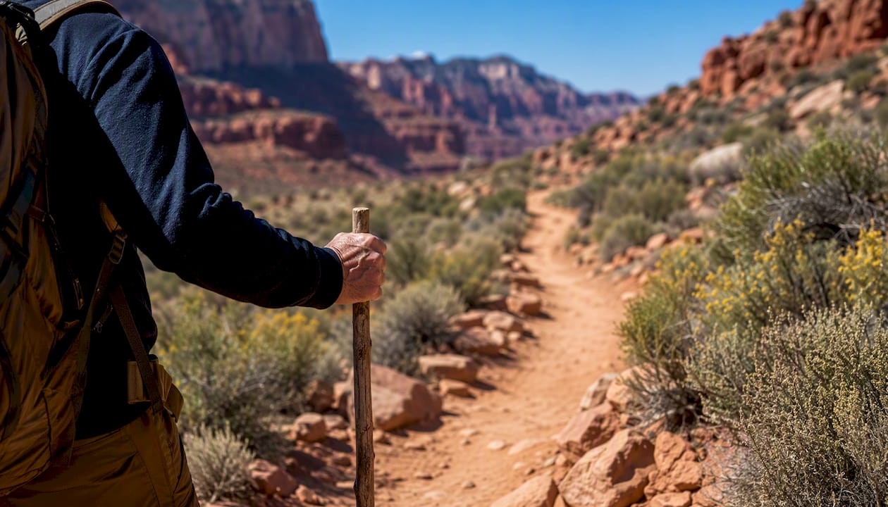
Pro Tip: If you're planning multiple hikes over several days, schedule the toughest one for day two or three, after your body has had a full day at elevation to adjust.
Guided Sedona Hikes Built Around Safety
Grand Canyon Journeys runs private, WFR-certified guided hikes through Sedona's red rock trails, so you get an experienced eye on pacing, hydration, and route choice instead of guessing your way through unfamiliar terrain.
Guests who want the scenery without the guesswork on trail difficulty often book the Sedona Highlights & Hike Tour, which pairs iconic overlooks with a guided hike matched to the group's fitness level. Private, door-to-door transportation means no time wasted hunting for trailhead parking or figuring out which route fits your day. If a lower-exertion sightseeing option fits your trip better, the Sedona Highlights Tour covers the same red rock views with minimal hiking involved. Check available dates and book the itinerary that matches your group's pace.
Frequently Asked Questions
What is the altitude in Sedona compared to Phoenix and Flagstaff? Sedona sits higher than Phoenix, which is close to sea level by comparison, but lower than Flagstaff, which sits well above 6,900 feet. That middle position is part of why Sedona feels noticeably cooler than Phoenix without the thinner air you'd notice in Flagstaff.
Can you get altitude sickness just walking around Sedona? It's unlikely. Town elevation sits below the common high-altitude threshold, so mild AMS from simply walking around is rare unless you're unusually sensitive to elevation change.
Do Sedona's hiking trails go higher than the town itself? Yes, several trails climb toward summits well above town level, and the elevation gain on some routes is steep enough to make a hike feel far more demanding than its mileage suggests.
Is Sedona a good place to acclimatize before a Grand Canyon trip? It can help. Spending a day or two at Sedona's moderate elevation before heading to higher elevations elsewhere in northern Arizona gives your body a gentler adjustment period.
What should I pack specifically for Sedona's altitude and desert conditions? Extra water, electrolyte packets, sunscreen, a hat, and layers for the temperature swing between morning and afternoon all matter more here than the elevation number alone suggests.
This article is general information, not a substitute for advice from a qualified doctor. Consult a qualified healthcare professional about your own circumstances before acting on anything here.
Sources
- Sedona Altitude Sickness: Complete Guide & 5 Tips To Avoid It - Zaca
- Hiking Safety — NPS (Chiricahua National Monument planning page)
- What Is the Elevation of Sedona? And Why It Matters for Your Visit - Arroyo Pinion