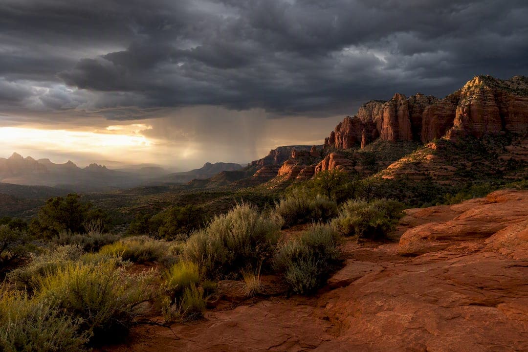
Arizona's monsoon season runs June 15 through September 30, with the stormiest stretch usually falling in July and August. Northern Arizona, including Flagstaff and the Grand Canyon, often doesn't see its first real storms until early July, a couple of weeks behind Phoenix and Tucson. The one rule that matters most: never drive through standing water, and get away from exposed viewpoints, ridgelines, or open trails once storms are building nearby. The University of Arizona Cooperative Extension, the National Weather Service, and CLIMAS all track this pattern closely, and their guidance forms the backbone of what follows.
- Official dates: June 15 to September 30, set by regional convention rather than a hard meteorological switch.
- Peak activity: July and August, with storms sometimes stretching into early September.
- Regional lag: Northern Arizona typically starts a week or two after the southern deserts.
- Immediate action: Avoid flooded roads and open outdoor spaces when storms are within sight or earshot.
Key Takeaways
Arizona's monsoon season runs June 15 through September 30, peaks in July and August, and demands one non-negotiable rule: never drive through flood water.
| Point | Details |
|---|---|
| Official season window | June 15 through September 30, with northern Arizona often starting a week or two later than the southern desert. |
| Peak storm months | July and August see the most activity, sometimes extending into early September. |
| Biggest hazard | Flash floods can arrive far from where rain actually fell, especially in canyon terrain. |
| Driving rule | As little as 12 inches of moving water can sweep away a vehicle, so turn around instead of crossing. |
| Guided travel option | Grandcanyonjourneys builds real-time storm flexibility into private Grand Canyon and Sedona tours with WFR-certified guides. |
Table of Contents
- What Causes the Arizona Monsoon Season?
- When and Where Does Monsoon Weather Hit Arizona?
- What Do Arizona Monsoon Storms Actually Look Like, and What's Dangerous About Them?
- How Should You Plan and Stay Safe During Monsoon Season?
- Where Can You Check Arizona Monsoon Forecasts?
- How Does Monsoon Season Affect Grand Canyon and Northern Arizona Travel?
- How Grand Canyon Journeys Helps You Navigate Monsoon Season
- Frequently Asked Questions
- Sources
What Causes the Arizona Monsoon Season?
The monsoon isn't one storm system. It's a seasonal shift in wind direction and moisture supply that turns Arizona's dry early summer into a stretch of daily storm potential. Calling it "the monsoon" the way you'd call a hurricane "Hurricane Whatever" misses the point entirely, and CLIMAS researchers stress this exact distinction because treating the monsoon as a single predictable event leads to poor planning.
Here's the sequence that sets it up:
- The subtropical ridge shifts north. A dome of high pressure, often called the Four Corners high, migrates over the Southwest in early summer.
- Winds flip from westerly to southerly. Instead of dry air sliding in from California, the atmosphere starts pulling moisture up from the south.
- Moisture arrives from multiple directions. The Gulf of California and the eastern Pacific supply most of it, with occasional contributions from the Gulf of Mexico.
- Daily heating triggers storm cells. Desert surfaces heat fast under the summer sun, air rises, and by afternoon that moisture condenses into thunderstorms.
- Storms fire in the same general window each day. Late morning buildup, afternoon development, evening peak, then it clears out and repeats.
That daily rhythm isn't constant, though. Meteorologists talk about "bursts and breaks," meaning the pattern surges for a week or two with storms almost every afternoon, then goes quiet for several days while drier air moves back in. Both phases count as monsoon season. A dry week in late July doesn't mean it's over.
When and Where Does Monsoon Weather Hit Arizona?
The calendar says June 15, but the sky doesn't always agree. Phoenix and Tucson tend to see their first monsoon storms within days of the official start, while Flagstaff, Sedona, and the Grand Canyon rims often wait until the first week of July for consistent activity.
Elevation plays a bigger role than most people expect. The Mogollon Rim acts like a wall that forces rising air to cool and condense, which is why storms frequently build over the rim country before rolling north toward Flagstaff and the canyon.
Regional snapshot: Northern Arizona can receive 40 to 50 percent of its total annual precipitation during the monsoon window alone, according to the National Weather Service's Flagstaff office. That's a huge share packed into roughly three months.
A few practical notes for common travel spots:
- Phoenix and Tucson: Storms arrive earlier in the season and tend to be shorter, more intense bursts tied to urban heat islands.
- Flagstaff: Higher elevation means cooler storm dynamics and more frequent hail compared to the low desert.
- Grand Canyon South Rim: Afternoon storms are common from July through early September, with thunderstorm activity peaking between 11 a.m. and 6 p.m., per the National Park Service.
- Sedona: Red rock terrain channels runoff quickly, so even a short downpour can send water rushing through normally dry washes within minutes.
What Do Arizona Monsoon Storms Actually Look Like, and What's Dangerous About Them?
Monsoon storms aren't gentle summer showers. They tend to be compact, fast-moving, and locally violent, which is exactly what makes them tricky to plan around. A storm can dump an inch of rain in twenty minutes over one drainage basin while leaving a trailhead two miles away completely dry.
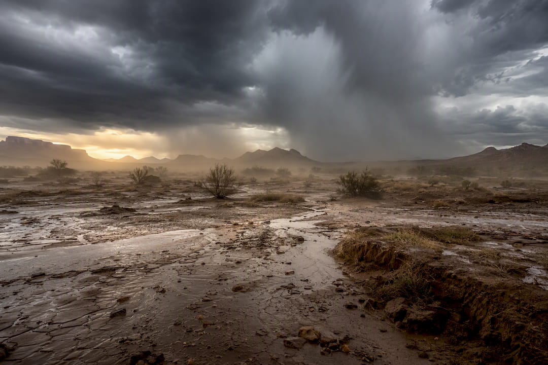
That mismatch is what makes flash floods so dangerous. Water doesn't need to fall where you're standing to reach you. Rain hitting the Kaibab Plateau can send a wall of water down a canyon tributary miles downstream, arriving with little or no warning at ground level even under a clear sky.
The core hazards to plan around:
- Flash floods: The fastest-developing and deadliest monsoon hazard, especially in canyons, washes, and slot canyon terrain.
- Lightning: Including "dry lightning," which strikes from storms producing little or no rain at ground level and sparks a large share of Arizona's summer wildfires.
- Hail: More common at higher elevations like Flagstaff and the canyon rims than in the low desert.
- Damaging winds: Straight-line gusts that can snap tree limbs and topple unsecured gear.
- Dust storms (haboobs): Walls of blowing dust that can drop visibility to near zero on highways within seconds.
Statistic that should change your plans: State safety guidance warns that 12 inches of moving water can sweep a car off the road, and most flash-flood deaths in Arizona happen inside vehicles, not on foot. That's about the depth of a curb.
Pro Tip: If you can't see the bottom of a flooded dip in the road, treat it as impassable. Depth perception on flooded pavement is notoriously unreliable, and a foot of fast water is enough to float a truck.
How Should You Plan and Stay Safe During Monsoon Season?
Good monsoon planning comes down to timing and margin. Build in enough buffer that one afternoon storm doesn't wreck your whole day.
- Schedule outdoor time for the morning. Hikes, rim walks, and photography sessions are safest before 11 a.m., ahead of typical storm development.
- Skip slot canyons and narrow washes when storms are possible anywhere upstream. You don't need rain overhead to get caught in a flash flood.
- Never drive through water on a road, even if it looks shallow. Turn around and find another route or wait it out.
- Follow posted road closures. Arizona Department of Transportation crews close flooded routes for a reason, and detours exist for that reason too.
- Know your nearest solid shelter before you head out. A hard-topped vehicle or building, not a rock overhang or lone tree.
- Avoid dry washes for hours after a storm passes. Floodwater from miles away can still be arriving.
- Pack for the unexpected. A basic kit with water, a flashlight, a portable phone charger, and a first-aid kit covers most delays.
- Turn on wireless emergency alerts on your phone. They deliver flash flood warnings automatically, no app required.
If you're relying on private well water anywhere in rural Arizona, heavy monsoon runoff can also raise contamination risk, since intense rainfall increases infiltration into groundwater sources. It's worth checking water quality after a significant storm cycle.
Pro Tip: Build a two-hour cushion into any monsoon-season itinerary. That's usually enough slack to wait out a storm cell without losing the day entirely.
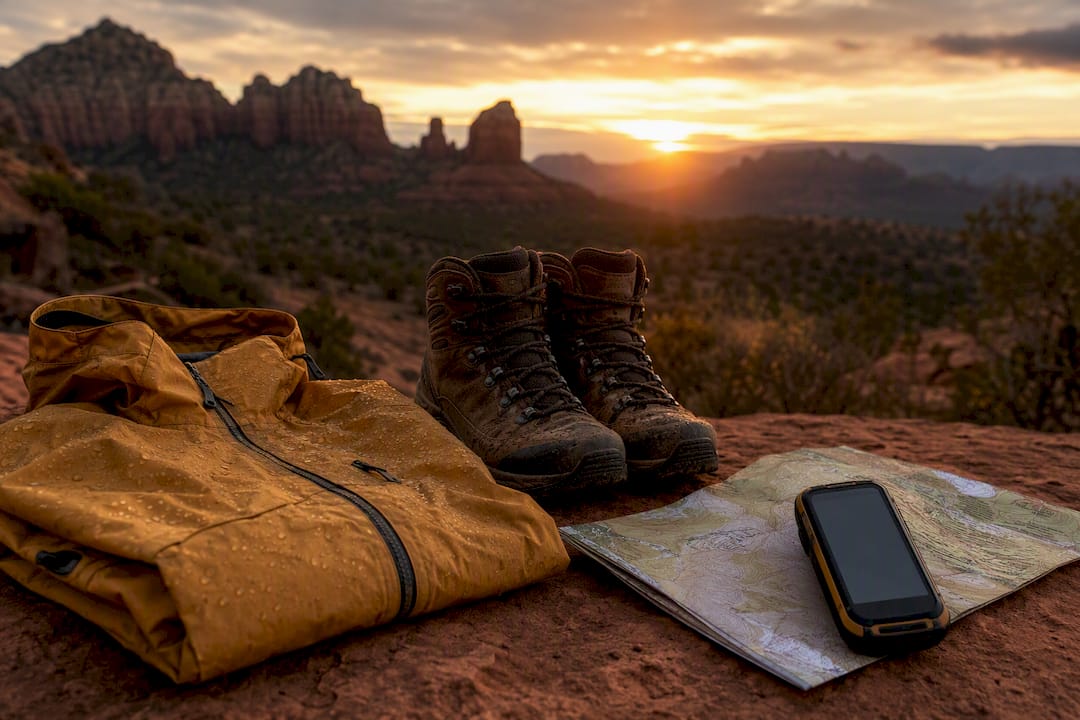
Guided tour operators should offer real contingency plans, not just a cancellation policy. Ask what a company does when storms roll in mid-trip, before you book anything.
Where Can You Check Arizona Monsoon Forecasts?
Checking the forecast twice a day, once in the morning and again right before you head out, catches most of what matters during monsoon season.
- Local NWS forecast offices (Phoenix, Tucson, Flagstaff) issue flash flood warnings and short-term outlooks specific to your exact area.
- NOAA's seasonal monsoon outlooks show whether a given summer is trending above or below normal for precipitation, though these outlooks have limited skill for predicting the timing of individual storms.
- CLIMAS at the University of Arizona publishes seasonal analysis that's useful for understanding the bigger climate picture behind a given monsoon year.
- Radar apps and NWS radar loops show storm cells in real time, which matters more than any morning forecast once you're already outdoors.
- Arizona Cooperative Extension offers plain-language explainers on monsoon timing and regional variability for residents and land managers alike.
Follow your regional NWS office's social feeds during monsoon season. They post flash flood warnings faster than most weather apps refresh.
How Does Monsoon Season Affect Grand Canyon and Northern Arizona Travel?
Guided travel in Northern Arizona has to bend around the monsoon, not fight it. Private tours built for flexibility handle this far better than fixed group-bus schedules, because a single storm cell shouldn't cancel your entire day.
Grandcanyonjourneys builds monsoon flexibility into its Northern Arizona itineraries as standard practice, not an add-on.
- Pickup times and rim viewpoints shift toward the morning window when storm risk is lower.
- Trail choices for below-the-rim hikes get reassessed the day of, based on radar and NPS conditions reports.
- Guides hold Wilderness First Responder (WFR) certification, trained specifically for backcountry weather emergencies.
- Climate-controlled vehicles mean waiting out a storm cell in comfort rather than getting caught exposed.
Real-time flexibility is the actual advantage private transport offers in monsoon season. A guide who can shift a pickup window or reroute a hike on short notice cuts weather exposure in a way a fixed group schedule simply can't match.
When booking any guided experience for July or August, ask directly what the operator's storm contingency plan looks like. A vague answer is a red flag.
A guide's honest take on traveling the Grand Canyon in storm season
Monsoon season scares off a lot of travelers who'd otherwise love what it produces: dramatic cloud banks over the canyon, dust-scented air, and light that photographers chase all year. The trick is treating flexibility as part of the plan rather than a backup. One afternoon, a storm cell pushed a scheduled rim visit back two hours. The wait ended with better light and a rainbow over the canyon that never would have happened on the original schedule. Plan for the weather, not around it, and safety stays the deciding factor every time.
How Grand Canyon Journeys Helps You Navigate Monsoon Season
Grandcanyonjourneys gives you something a self-driven monsoon-season trip can't: a guide watching the sky for you while you actually enjoy the scenery. Every private tour comes with real-time routing decisions built in, so a storm cell over one viewpoint just means a pivot to another, not a ruined afternoon.
That flexibility runs through every part of the experience. Door-to-door pickup in climate-controlled vehicles means you're never stranded at a trailhead when the sky turns. Guided hikes below the rim run through WFR-certified guides who read conditions the way locals do, adjusting trail choice and turnaround times before risk becomes a problem. If your dates land in July or August, morning-focused scheduling and rim-side dining at El Tovar keep the best parts of the day protected from afternoon storm risk. For rainy-day flexibility beyond the canyon itself, indoor and flexible activity options can round out a storm-affected itinerary too.
Check available dates and build a flexible monsoon-season itinerary on the Grand Canyon Travel Planner, or look at the private guided hiking tour if a below-the-rim experience is on your list.
Frequently Asked Questions
When is monsoon season in Arizona? Arizona's monsoon season officially runs from June 15 through September 30. Storm activity usually ramps up in early July and peaks during July and August.
When does Grand Canyon weather in July get risky for hiking? Afternoon and evening hours carry the highest storm risk, typically starting around 11 a.m. Morning hikes before 10 a.m. carry substantially lower thunderstorm exposure.
Does Sedona have a different monsoon timeline than Phoenix? Sedona and other northern Arizona destinations typically see their first consistent storms about one to two weeks after Phoenix and Tucson, though both fall within the same official season.
What's the single most dangerous monsoon hazard for travelers? Flash flooding causes the most fatalities, largely because drivers underestimate how little moving water it takes to sweep away a vehicle.
Can guided tours still run safely during Arizona monsoon storms? Yes, when operators build in flexible scheduling, real-time rerouting, and WFR-certified guides who can adjust plans the moment conditions change.
Sources
- Monsoon | UA Cooperative Extension
- Northern Arizona Monsoon Season — NWS Flagstaff (FGZ)
- Monsoon — CLIMAS (University of Arizona)
- Weather and Climate - Grand Canyon National Park (U.S. National Park Service)
- Arizona water / safety guidance — AZWater (state news article)